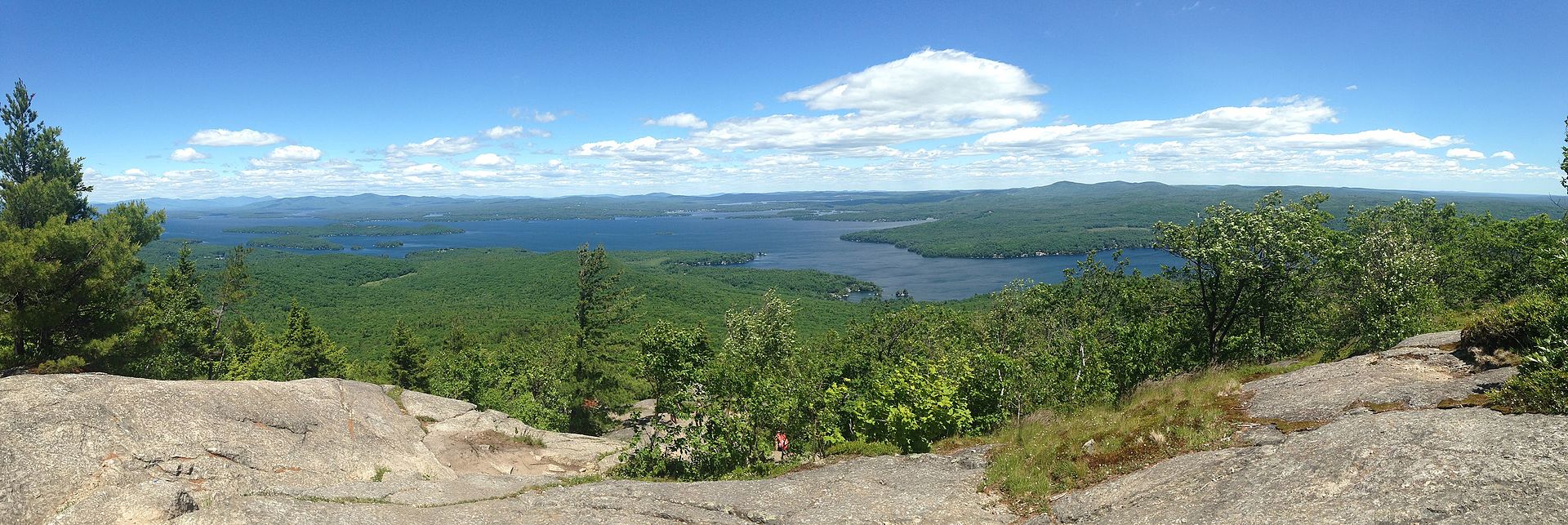
- Mount Major (Alton, NH) – 3.1-mile round-trip hike with panoramic views of Lake Winnipesaukee.
- Cotton Valley Rail Trail (Wolfeboro, NH) – 12-mile scenic walking and biking trail.
- Knight’s Pond Loop (Alton, NH) – 3.3-mile loop through forests and boulders.
- Brook Walk at Castle in the Clouds (Moultonborough, NH) – Trail featuring waterfalls and forest views.
Popular Peaks from the 52-WITH-A-VIEW LIST (52 WAV)
- Mount Shaw (2,990 feet) Moultonborough, NH– Mount Shaw is the highest peak in the Ossipee Range and offers expansive views of Lake Winnipesaukee and the surrounding mountains. The hike is moderately challenging, with various trail options leading to the summit.
- Mount Roberts (2,582 feet) Moultonborough, NH – This peak provides hikers with scenic vistas of the Lakes Region and the White Mountains. The Mount Roberts Trail is well-marked and offers a moderate hike through diverse terrain.
- Mount Kearsarge North (3,268 feet) North Conway, NH – Not to be confused with the similarly named Mount Kearsarge in central New Hampshire, Kearsarge North features a historic fire tower at its summit, granting panoramic views of the surrounding area. The trail is moderately strenuous, spanning approximately 6.2 miles round-trip.
- Mount Chocorua (3,490 feet) Albany, NH – Renowned for its distinct rocky summit, Mount Chocorua is one of the most photographed mountains in New Hampshire. Several trails, such as the Piper and Liberty trails, lead to the top, offering hikers stunning views of the White Mountains and Lakes Region.
- North Moat Mountain (3,196 feet) North Conway, NH – This mountain offers outstanding views, especially from its open ledges. The hike is considered difficult, with a round-trip distance of approximately 10 miles.
These peaks are celebrated not only for their elevations but also for the rewarding vistas they offer. Before embarking on any hike, it’s advisable to consult detailed trail guides and maps, check current trail conditions, and ensure you’re adequately prepared for the terrain and weather.